|
2010 - 2011 Snow Season Surveys >
 |
2011 Lake Superior and Red River Snow Survey #1
March 25, 2011 to March 29, 2011
|
|
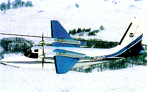
The first Lake Superior and Red River Snow Survey began on March 25 and ended on March 29. Gamma snow water equivalent measurements were collected around Lake Superior and in the Red River basin, including the upper Sheyenne River in central North Dakota.
|
|
|
|
Flightline Status |

|
| Date |
States |
Status Map |
Flight Line SHEF Product |
SNODAS SWE Image |
Interpolated Gamma SWE Image |
| 2011-03-29 |
MI,MN,WI,ON |
2011-03-29 |
2011-03-29 |
2011-03-29 |
2011-03-29 |
| 2011-03-28 |
MI,MN,WI,ON |
2011-03-28 |
2011-03-28 |
2011-03-28 |
N/A |
| 2011-03-27 |
MI,MN,WI,ON |
2011-03-27 |
2011-03-27 |
2011-03-27 |
N/A |
| 2011-03-27 |
MI,MN,WI,ON |
2011-03-27 |
2011-03-27 |
2011-03-27 |
N/A |
| 2011-03-26 |
MN,ND |
2011-03-26 |
2011-03-26 |
2011-03-26 |
N/A |
| 2011-03-25 |
MN,ND |
2011-03-25 |
2011-03-25 |
2011-03-25 |
N/A |
|
|


