(content link) weather.gov    
NOAA link
National Weather Service
  NWS link
National Operational Hydrologic
Remote Sensing Center

2010 - 2011 Snow Season Surveys >

Aero Commander Image

2011 Northeast / St. John River Snow Survey #1

February 22, 2011 to February 27, 2011

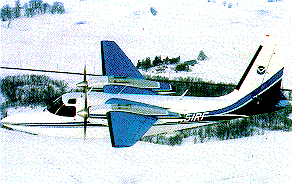
The first Northeast / St. John River Snow Survey began on February 22 and ended on February 27. Gamma snow water equivalent measurements were collected in the northeastern U.S. and in the St. John River basin.

Flightline Status

Gamma Status


Date States Status Map Flight Line SHEF Product SNODAS SWE Image Interpolated Gamma SWE Image
2011-03-25 ME,NB 2011-03-25 2011-03-25 2011-03-25 N/A
2011-03-24 ME,NB 2011-03-24 2011-03-24 2011-03-24 N/A
2011-03-20 ME,NB 2011-03-20 2011-03-20 2011-03-20 N/A
2011-03-19 ME,NH,VT 2011-03-19 2011-03-19 2011-03-19 N/A
2011-03-17 NH,NY,VT 2011-03-17 2011-03-17 2011-03-17 N/A
2011-03-15 MA,NY,VT 2011-03-15 2011-03-15 2011-03-15 N/A


NOHRSC
Mission Statement  |  Contact


National Weather Service
National Operational Hydrologic Remote Sensing Center
Office of Water Prediction
1735 Lake Drive W.
Chanhassen, MN 55317

NOHRSC homepage
Contact NOHRSC
Glossary
Credits
Information Quality
Page last modified: Feb 27, 2023 - cloud
About Us
Disclaimer
Privacy Policy
FOIA
Career Opportunities