Home
Snow Information
National Analyses
Interactive Maps
3D Visualization
Airborne Surveys
Snowfall Analysis
Satellite Products
Forecasts
Data Archive
SHEF Products
Science/Technology
NOHRSC
GIS Data Sets
Special Purpose Imagery
About The NOHRSC
Staff
NOAA Links
Snow Climatology
Related Links
Help
Help and FAQ
Site Map
Contact Us
Please Send Us Comments!
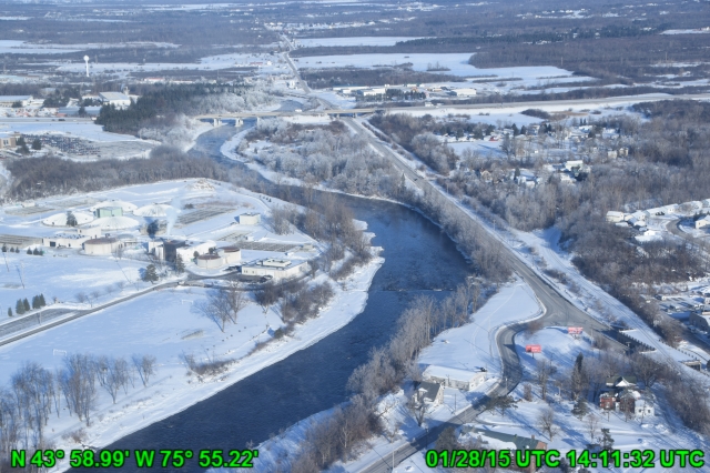
Digital Aerial Photography
The pictures were taken by National Oceanic and Atmospheric Administration
Officers (NOAA Corps Officers) from Airborne Snow Survey airplanes.
The aircraft now used are DeHavilland Twin Otters
and a Beechcraft King Air .
Altitudes from which the pictures were taken ranged from 500 to 1000 feet
above ground level.
Select a year:
FY 2015 Aerial Photos:
2015 Snow Survey Photos
Sort by Flightline
Sort by Date
Sort by Caption
Survey 011: NERFC Snow Survey #11
Date: 2015-01-28
NO CAPTION 1
Date: 2015-02-03
Winnisquam Lake
Date: 2015-02-03
Merrimack River
Date: 2015-02-03
Connecticut River
Date: 2015-02-06
Saint John River
Date: 2015-02-06
Lake Temiscouata
Date: 2015-02-06
Snow Cover Near Millinocket
Line: MA202
Date: 2015-02-03
MA202 - Snow Cover Near Princeton
Line: ME105
Date: 2015-01-29
ME105
Line: ME117
Date: 2015-01-29
ME117
Line: NH106
Date: 2015-02-03
NH106 - First Connecticut Lake
Line: NH107
Date: 2015-02-03
NH107 - Snow Cover Near Kidderville
Line: NH109
Date: 2015-01-29
NH109
Line: NH212
Date: 2015-01-29
NH212
Line: NH217
Date: 2015-01-29
NH217
Line: NY211
Date: 2015-01-28
NY211
Line: NY221
Date: 2015-01-28
NY221
Line: NY222
Date: 2015-01-28
NY222
Line: NY420
Date: 2015-01-28
NY420
Line: NY424
Date: 2015-01-28
NY424
Line: NY445
Date: 2015-01-28
NY445
Line: NY501
Date: 2015-01-29
NY501
Line: NY503
Date: 2015-01-29
NY503
Line: SJ144
Date: 2015-02-06
SJ144
Line: SJ151
Date: 2015-02-06
SJ151
Line: VT113
Date: 2015-01-29
VT113
Line: VT117
Date: 2015-01-29
VT117
Information for Internet Explorer users