| Survey 017: NCRFC Snow Survey #9 |
|---|

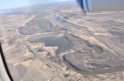
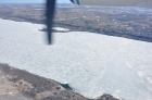
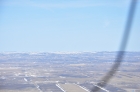
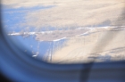
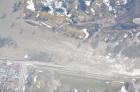
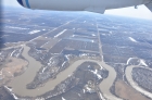
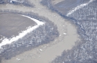
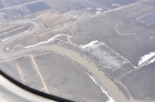
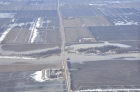
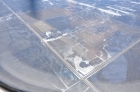
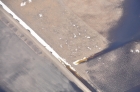
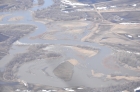
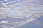
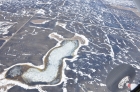
Date: 2013-04-19
Souris River east of Minot
|

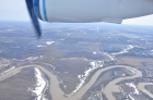
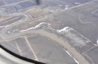
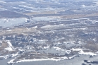
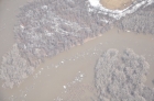
Date: 2013-04-19
Souris River east of Minot
|

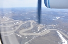
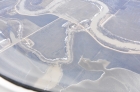
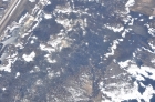
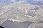
Date: 2013-04-19
Souris River east of Minot
|

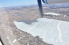
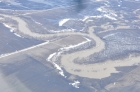
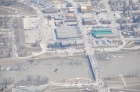
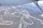
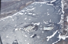
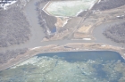
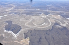
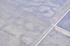
Date: 2013-04-19
Dam on south end of Lake Astabula
|

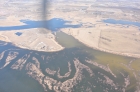
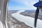
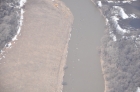
Date: 2013-04-20
Red River south of Fargo
|

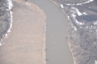
Date: 2013-04-20
Red River south of Fargo
|

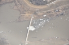
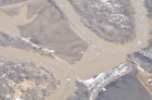
Date: 2013-04-20
Ox-bow
Full
|

Date: 2013-04-20
Cheyenne River north of Fort Ransom
|

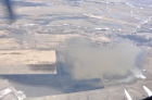
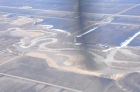
Date: 2013-04-22
SWGI 10
|

Date: 2013-04-23
Red River within 10 of KFAR
Full
|

Date: 2013-04-23
Red River within 10 of KFAR
Full
|

Date: 2013-04-23
Red River within 10 of KFAR
Full
|

Date: 2013-04-23
Red River within 10 of KFAR
Full
|

Date: 2013-04-23
Near Red Rvr from 10 to 20 from KFAR
Full
|

Date: 2013-04-23
Near Red Rvr from 10 to 20 from KFAR
Full
|

Date: 2013-04-23
Near Red Rvr from 10 to 20 from KFAR
Full
|

Date: 2013-04-23
Near Red Rvr from 10 to 20 from KFAR
Full
|

Date: 2013-04-23
Near Red Rvr from 10 to 20 from KFAR
Full
|

Date: 2013-04-23
Red Rvr_S of Fargo_20 - 25 NM
Full
|

Date: 2013-04-23
Red Rvr_S of Fargo_20 - 25 NM
Full
|

Date: 2013-04-23
Red Rvr_S of Fargo_20 - 25 NM
Full
|

Date: 2013-04-23
Red Rvr_S of Fargo_20 - 25 NM
Full
|

Date: 2013-04-23
Red Rvr_S of Fargo_20 - 25 NM
Full
|

Date: 2013-04-23
Red Rvr_S of Fargo_25 - 35 NM
Full
|

Date: 2013-04-23
Red Rvr_S of Fargo_25 - 35 NM
Full
|

Date: 2013-04-23
Red Rvr_S of Fargo_25 - 35 NM
Full
|

Date: 2013-04-23
Red Rvr_S of Fargo_25 - 35 NM
Full
|

Date: 2013-04-23
Red Rvr_S of Fargo_25 - 35 NM
Full
|

Date: 2013-04-23
5 NM NE quarter of BWP
Full
|

Date: 2013-04-23
5 NM NE quarter of BWP
Full
|

Date: 2013-04-23
5 NM NE quarter of BWP
Full
|

Date: 2013-04-23
5 NM NE quarter of BWP
Full
|

Date: 2013-04-23
5 NM NE quarter of BWP
Full
|

Date: 2013-04-23
5 NM SE quarter of BWP
Full
|

Date: 2013-04-23
5 NM SE quarter of BWP
Full
|

Date: 2013-04-23
5 NM SE quarter of BWP
Full
|
Date: 2013-04-23
Red River within 10 of KFAR
Full
|
Date: 2013-04-23
Red River within 10 of KFAR
Full
|
Date: 2013-04-23
Red River within 10 of KFAR
Full
|
Date: 2013-04-23
Red River within 10 of KFAR
Full
|
Date: 2013-04-23
Near Red Rvr from 10 to 20 from KFAR
Full
|
Date: 2013-04-23
Near Red Rvr from 10 to 20 from KFAR
Full
|
Date: 2013-04-23
Near Red Rvr from 10 to 20 from KFAR
Full
|
Date: 2013-04-23
Near Red Rvr from 10 to 20 from KFAR
Full
|
Date: 2013-04-23
Near Red Rvr from 10 to 20 from KFAR
Full
|

Date: 2013-04-23
5 NM SE quarter of BWP
Full
|

Date: 2013-04-23
5 NM SE quarter of BWP
Full
|

Date: 2013-04-23
5 NM SE of BWP to 5 NM SW of FFM
Full
|

Date: 2013-04-23
5 NM SE of BWP to 5 NM SW of FFM
Full
|

Date: 2013-04-23
5 NM SE of BWP to 5 NM SW of FFM
Full
|

Date: 2013-04-23
5 NM SE of BWP to 5 NM SW of FFM
Full
|

Date: 2013-04-23
FFM to 10 NM S of FFM
Full
|

Date: 2013-04-23
FFM to 10 NM S of FFM
Full
|

Date: 2013-04-23
FFM to 10 NM S of FFM
Full
|

Date: 2013-04-23
FFM to 10 NM S of FFM
Full
|

Date: 2013-04-23
FFM to 10 NM S of FFM
Full
|

Date: 2013-04-23
20 NM S of FFM
Full
|

Date: 2013-04-23
20 NM S of FFM
Full
|

Date: 2013-04-23
20 NM S of FFM
Full
|

Date: 2013-04-23
20 NM S of FFM
Full
|

Date: 2013-04-23
20 NM S of FFM
Full
|

Date: 2013-04-23
12 SE of BWP to 12 S of BWP
Full
|

Date: 2013-04-23
12 SE of BWP to 12 S of BWP
Full
|

Date: 2013-04-23
12 SE of BWP to 12 S of BWP
Full
|

Date: 2013-04-23
12 SE of BWP to 12 S of BWP
Full
|

Date: 2013-04-23
12 SE of BWP to 12 S of BWP
Full
|

Date: 2013-04-23
12 SE of BWP to 12 S of BWP
Full
|

Date: 2013-04-23
12 SE of BWP to 12 S of BWP
Full
|

Date: 2013-04-23
12 SE of BWP to 12 S of BWP
Full
|

Date: 2013-04-23
12 SE of BWP to 12 S of BWP
Full
|

Date: 2013-04-23
12 SE of BWP to 12 S of BWP
Full
|

Date: 2013-04-23
SWGI 40
Full
|

Date: 2013-04-23
SWGI 30 near Briton
Full
|

Date: 2013-04-23
James Rvr N of ABR
Full
|

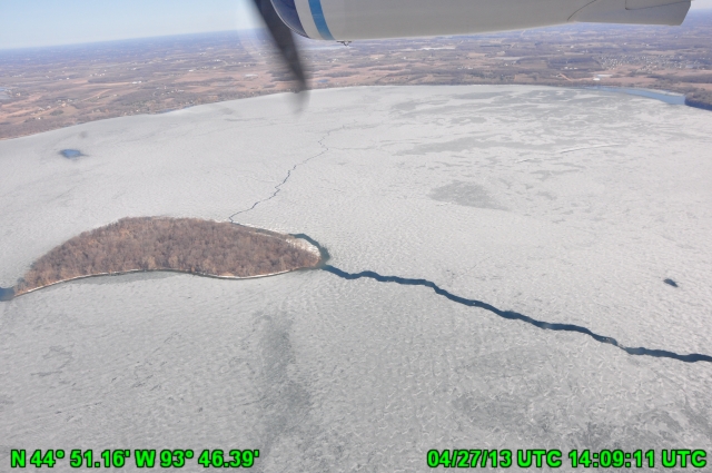
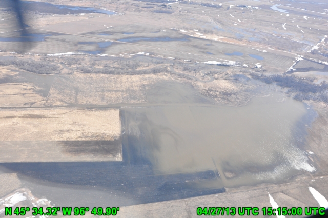
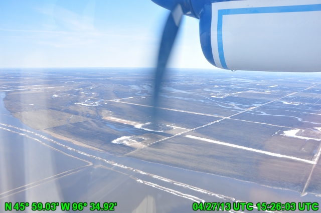
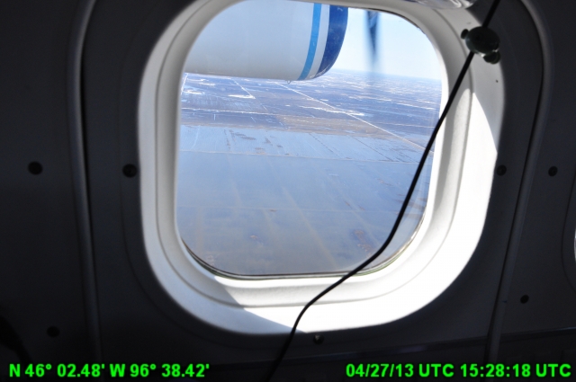
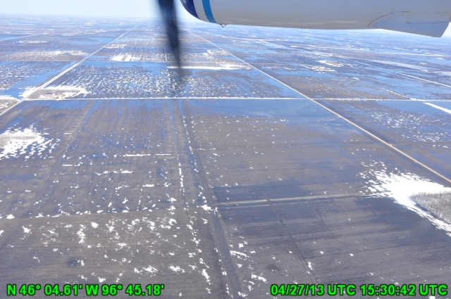
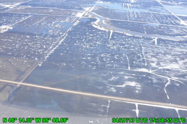
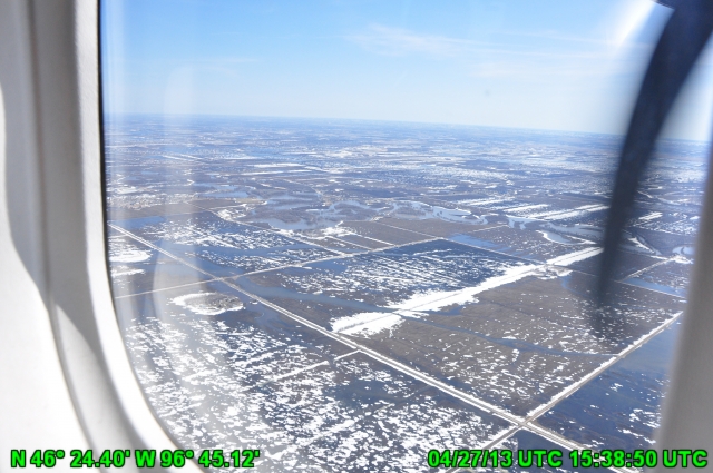
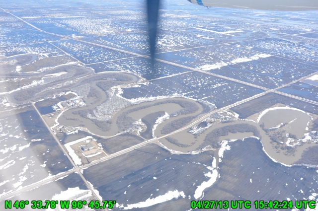
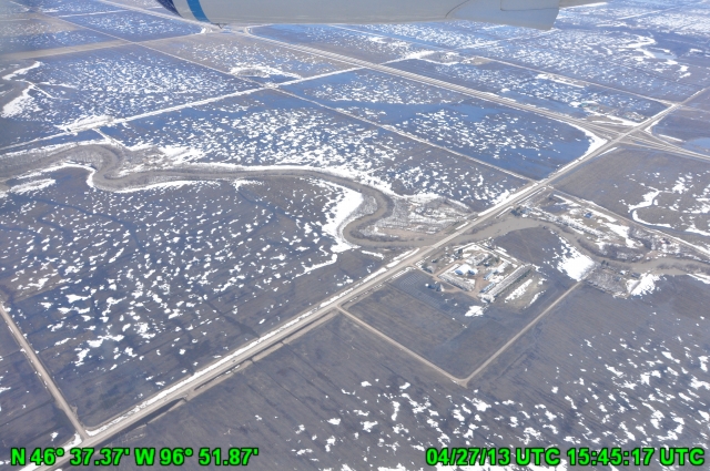
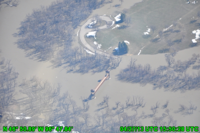
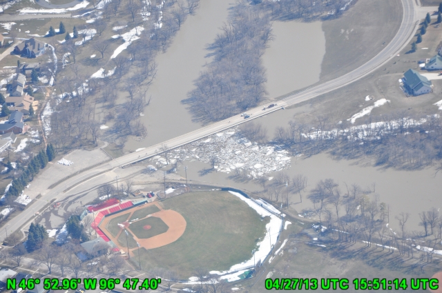
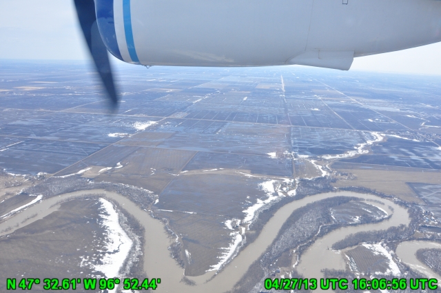
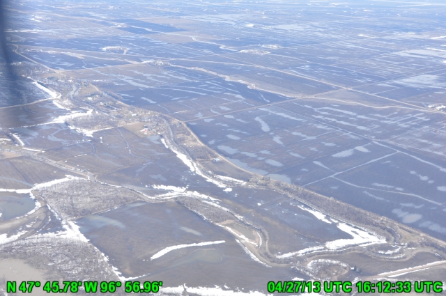
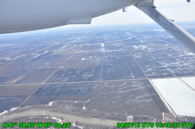
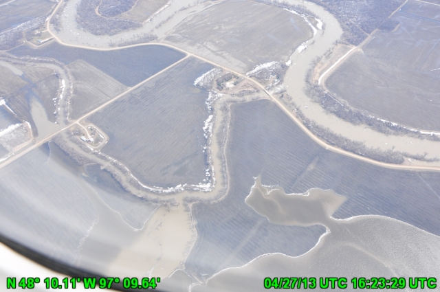
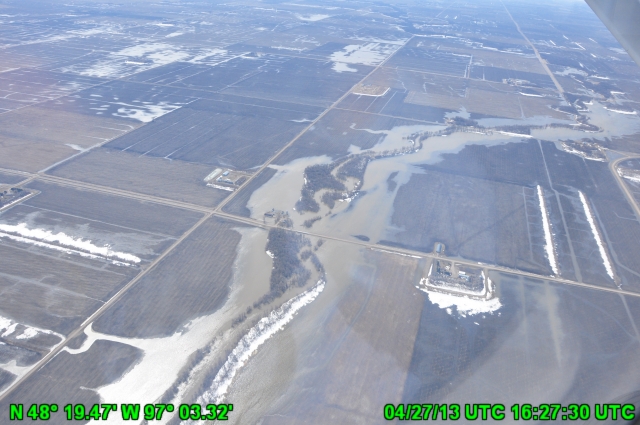
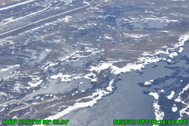
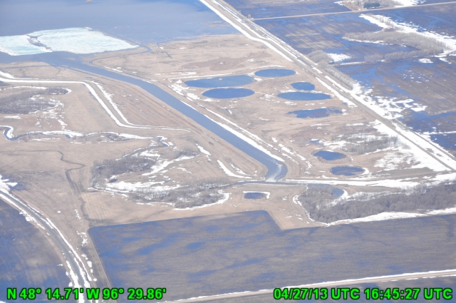
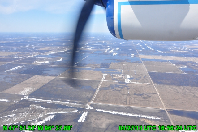
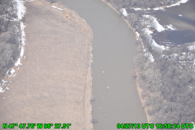
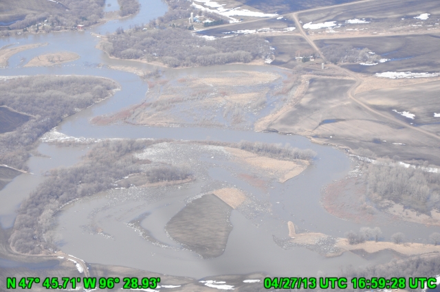
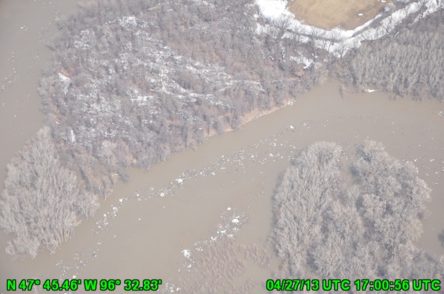
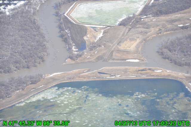
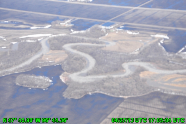
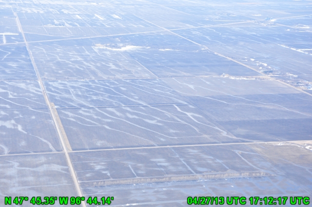
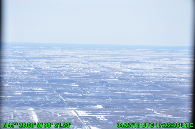
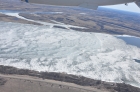
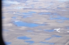
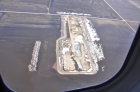
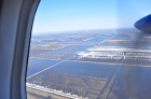
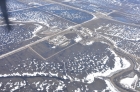
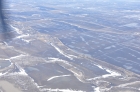
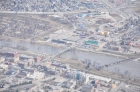
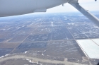
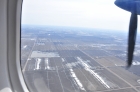
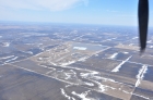
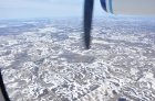
Date: 2013-04-27
NOHRSC from above
|

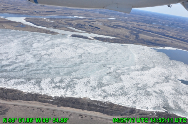
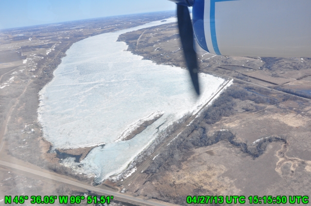
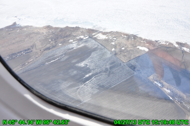
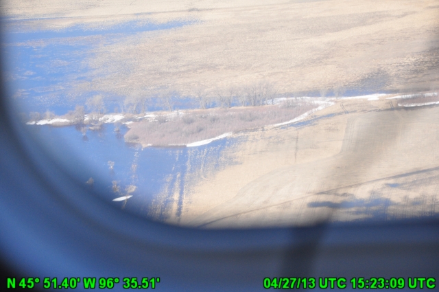
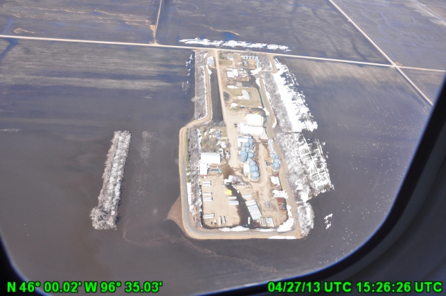
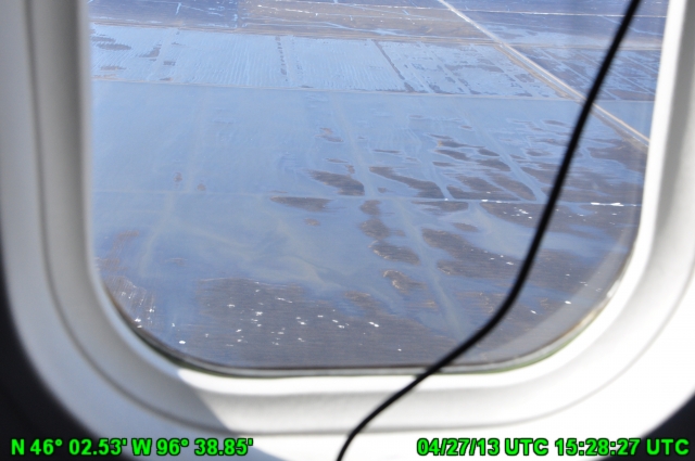
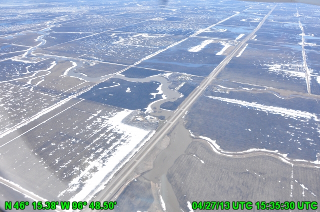
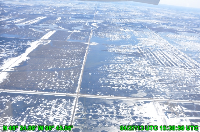
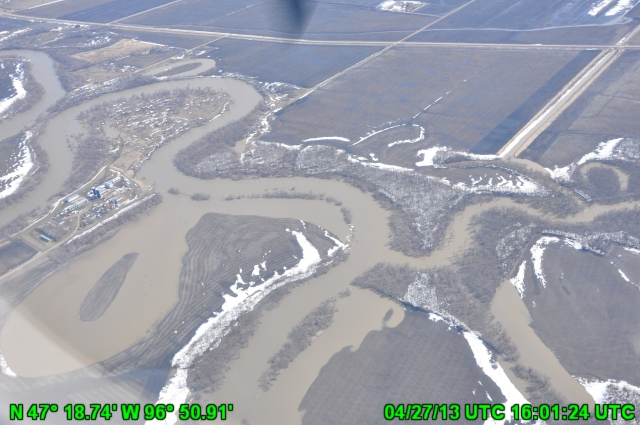
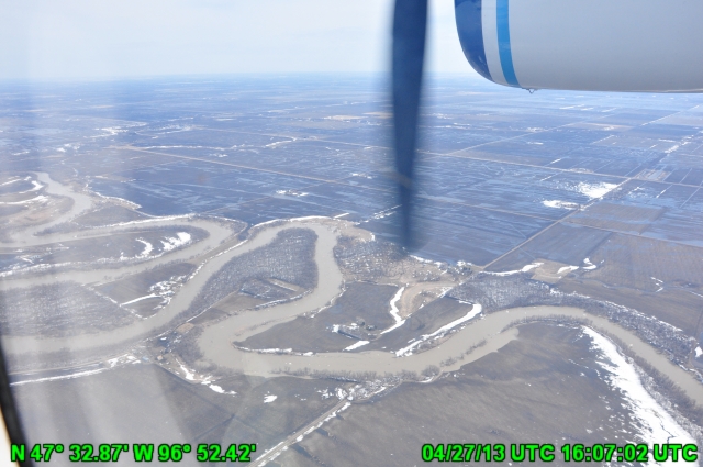
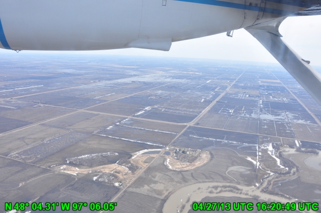
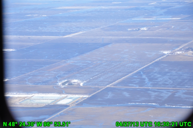
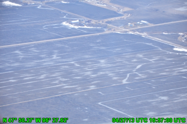
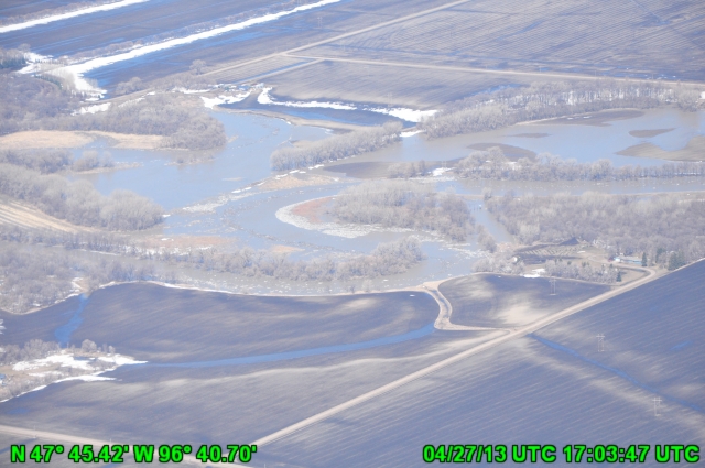
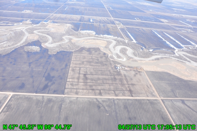
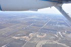
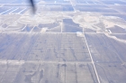
Date: 2013-04-27
NO CAPTION 1
|
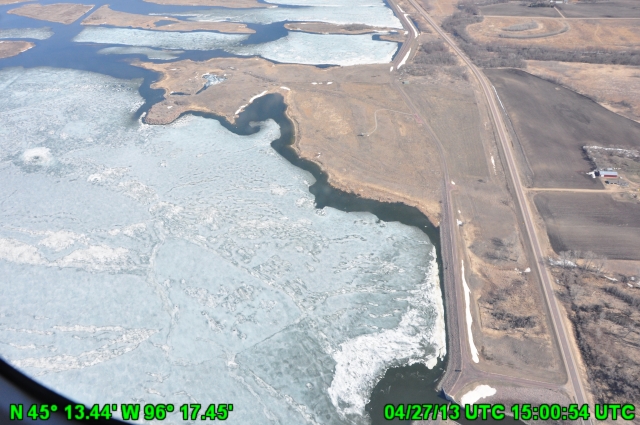
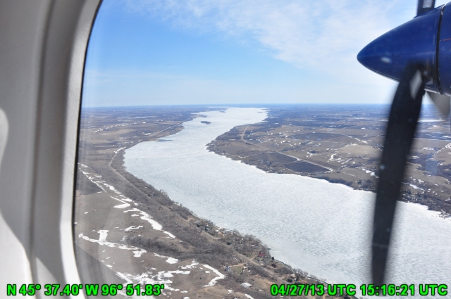
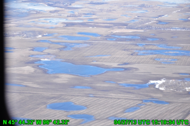
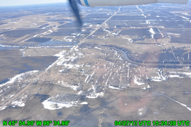
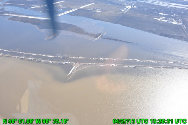
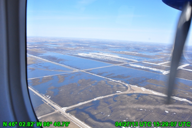
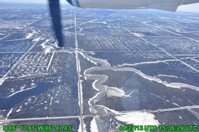
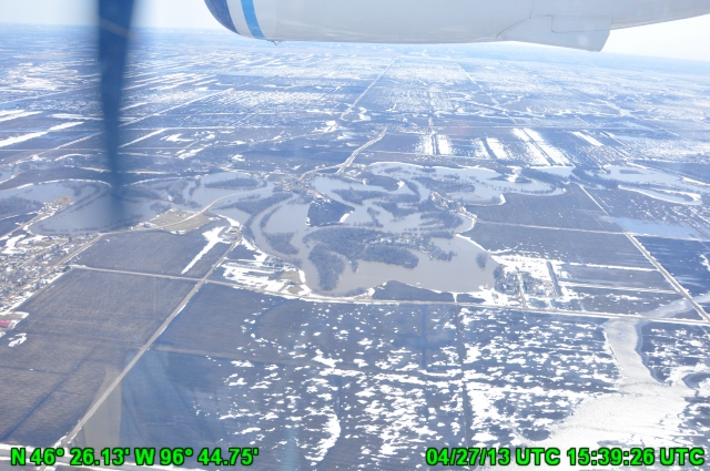
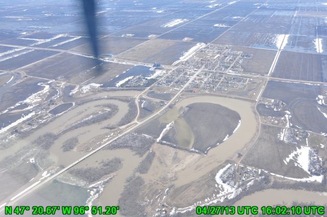
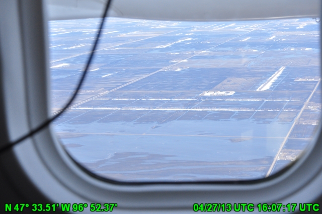
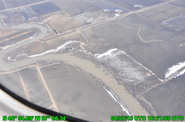
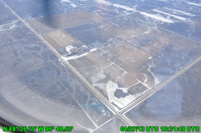
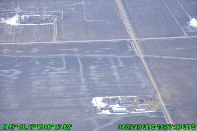
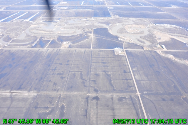
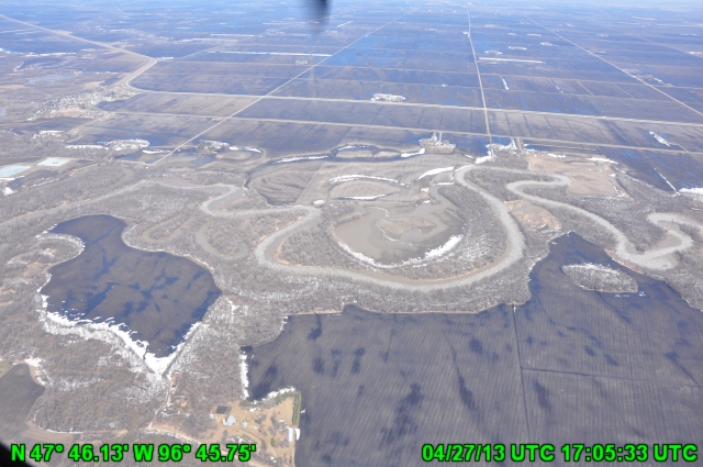
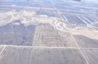
Date: 2013-04-27
NO CAPTION 2
|

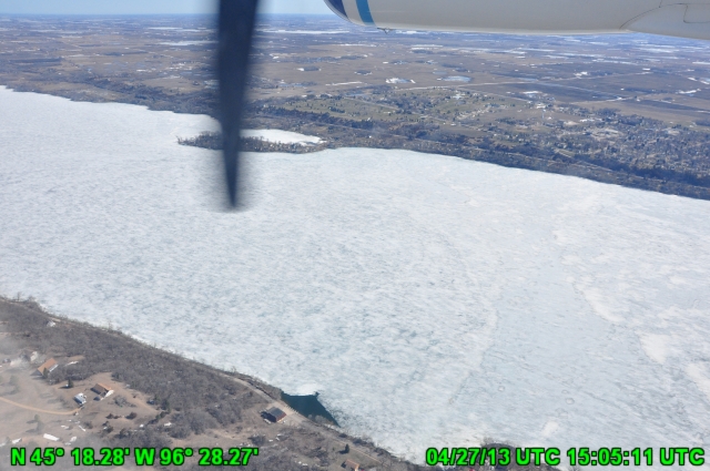
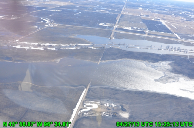
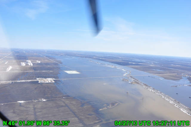
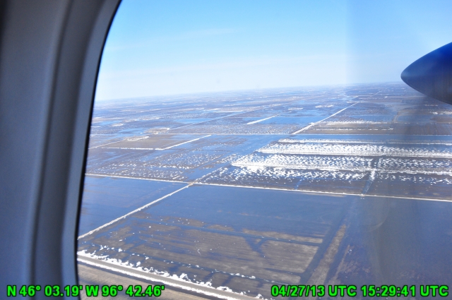
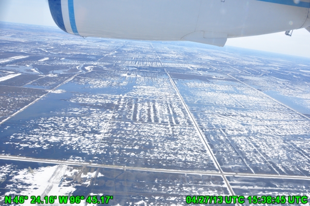
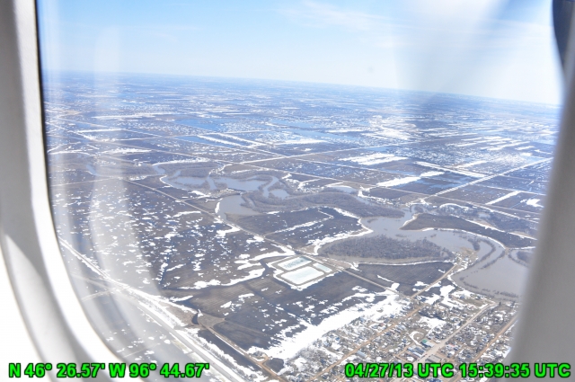
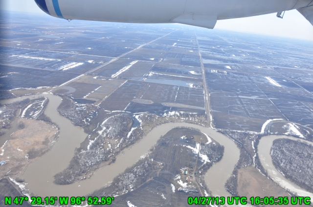
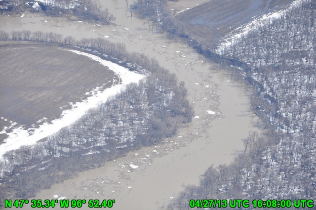
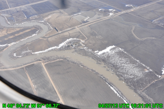
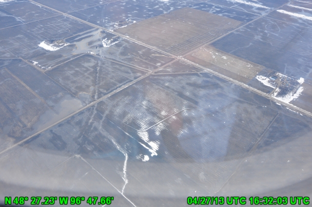
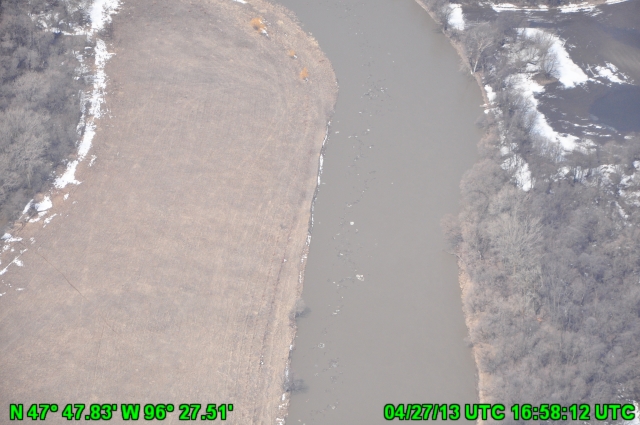
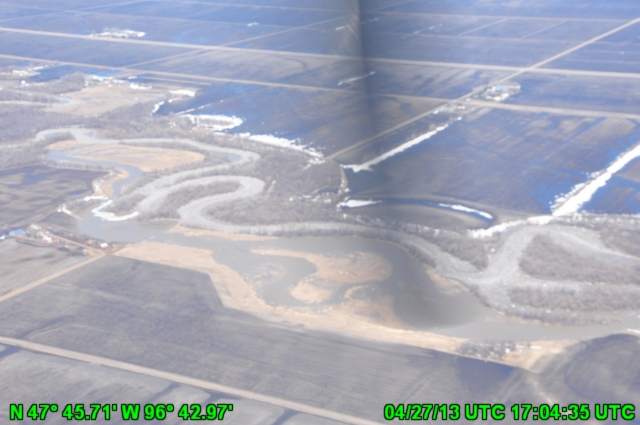
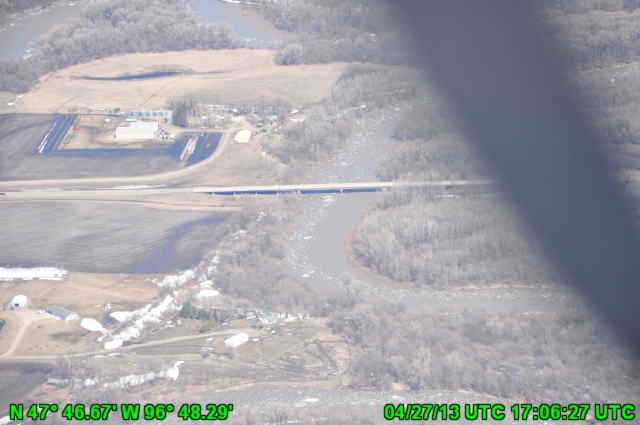
Date: 2013-04-27
NO CAPTION 3
|
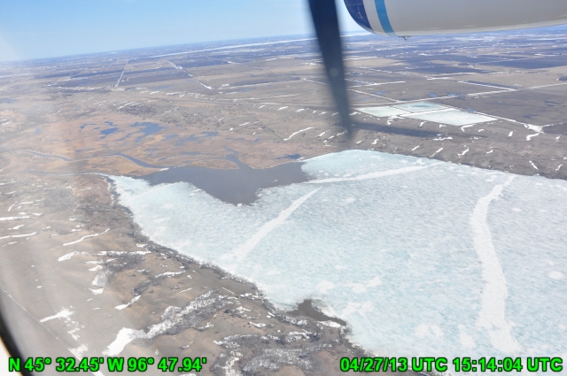
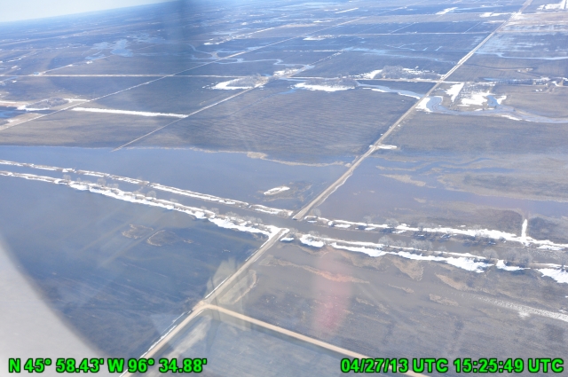
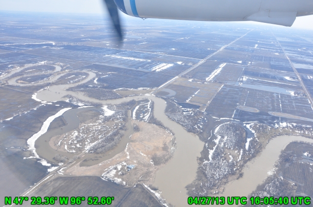
Date: 2013-04-27
NO CAPTION 4
|
Date: 2013-04-27
NO CAPTION 5
|
Date: 2013-04-27
NO CAPTION 6
|

Date: 2013-04-27
NO CAPTION 7
|
Date: 2013-04-27
NO CAPTION 8
|
Date: 2013-04-27
NO CAPTION 9
|
Date: 2013-04-27
NO CAPTION 10
|
Date: 2013-04-27
NO CAPTION 11
|

Date: 2013-04-27
NO CAPTION 12
|
Date: 2013-04-27
NO CAPTION 13
|
Date: 2013-04-27
NO CAPTION 14
|

Date: 2013-04-27
NO CAPTION 15
|
Date: 2013-04-27
NO CAPTION 16
|
Date: 2013-04-27
NO CAPTION 17
|
Date: 2013-04-27
NO CAPTION 18
|
Date: 2013-04-27
NO CAPTION 19
|
Date: 2013-04-27
NO CAPTION 20
|
Date: 2013-04-27
NO CAPTION 21
|
Date: 2013-04-27
NO CAPTION 22
|

Date: 2013-04-27
NO CAPTION 23
|
Date: 2013-04-27
NO CAPTION 24
|

Date: 2013-04-27
NO CAPTION 25
|
Date: 2013-04-27
NO CAPTION 26
|
Date: 2013-04-27
NO CAPTION 27
|
Date: 2013-04-27
NO CAPTION 28
|

Date: 2013-04-27
NO CAPTION 29
|
Date: 2013-04-27
NO CAPTION 30
|

Date: 2013-04-27
NO CAPTION 31
|
Date: 2013-04-27
NO CAPTION 32
|
Date: 2013-04-27
NO CAPTION 33
|

Date: 2013-04-27
NO CAPTION 34
|

Date: 2013-04-27
NO CAPTION 35
|
Date: 2013-04-27
NO CAPTION 36
|
Date: 2013-04-27
NO CAPTION 37
|
Date: 2013-04-27
NO CAPTION 38
|

Date: 2013-04-27
NO CAPTION 39
|
Date: 2013-04-27
NO CAPTION 40
|
Date: 2013-04-27
NO CAPTION 41
|

Date: 2013-04-27
NO CAPTION 42
|

Date: 2013-04-27
NO CAPTION 43
|

Date: 2013-04-27
NO CAPTION 44
|

Date: 2013-04-27
NO CAPTION 45
|
Date: 2013-04-27
NO CAPTION 46
|
Date: 2013-04-27
NO CAPTION 47
|
Date: 2013-04-27
NO CAPTION 48
|
Date: 2013-04-27
NO CAPTION 49
|
Date: 2013-04-27
NO CAPTION 50
|
Date: 2013-04-27
NO CAPTION 51
|
Date: 2013-04-27
NO CAPTION 52
|
Date: 2013-04-27
NO CAPTION 53
|

Date: 2013-04-27
NO CAPTION 54
|
Date: 2013-04-27
NO CAPTION 55
|
Date: 2013-04-27
NO CAPTION 56
|

Date: 2013-04-27
NO CAPTION 57
|

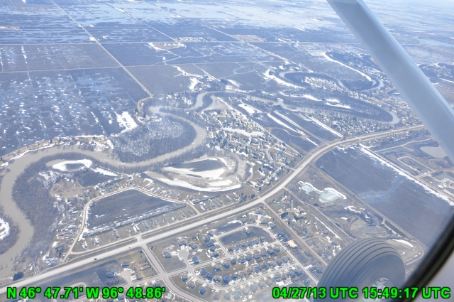
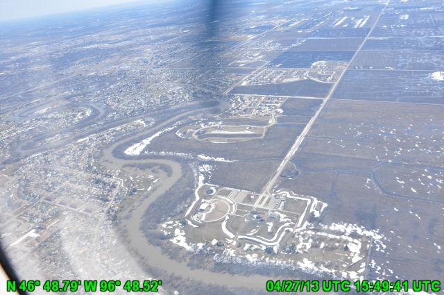
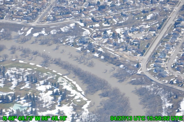
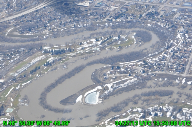
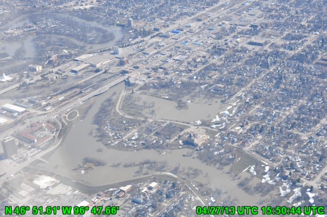
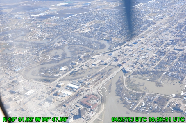
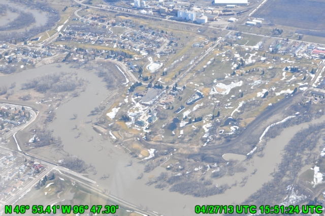
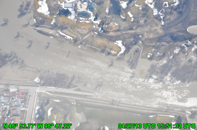
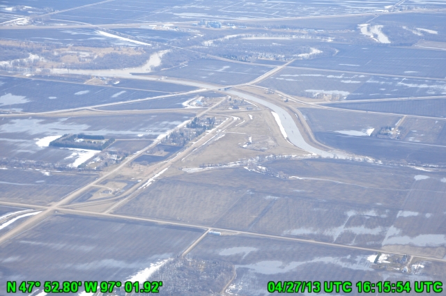
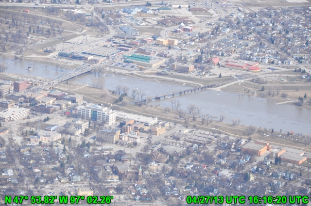
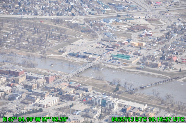
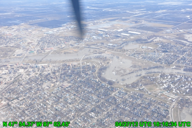
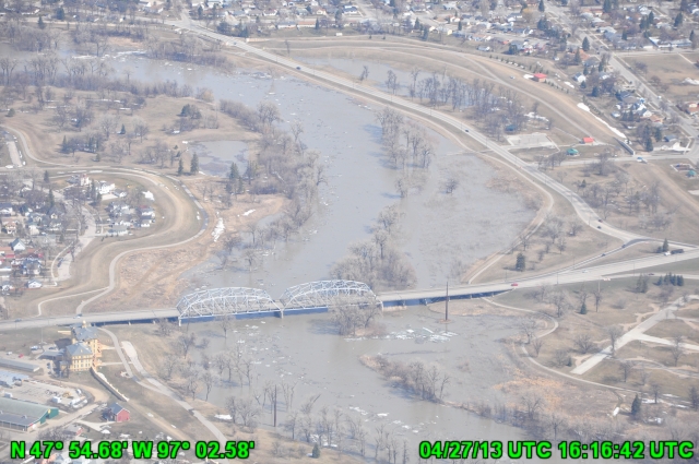
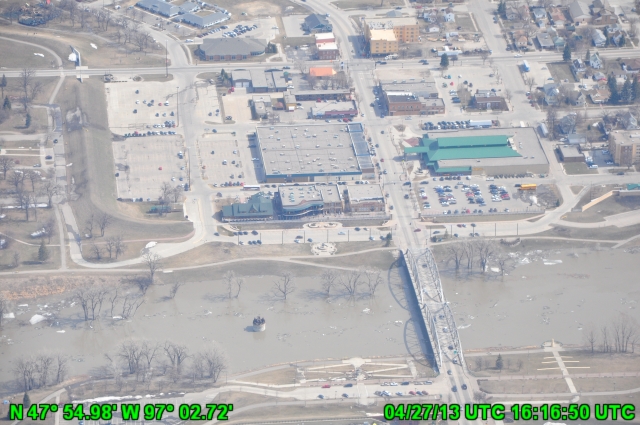
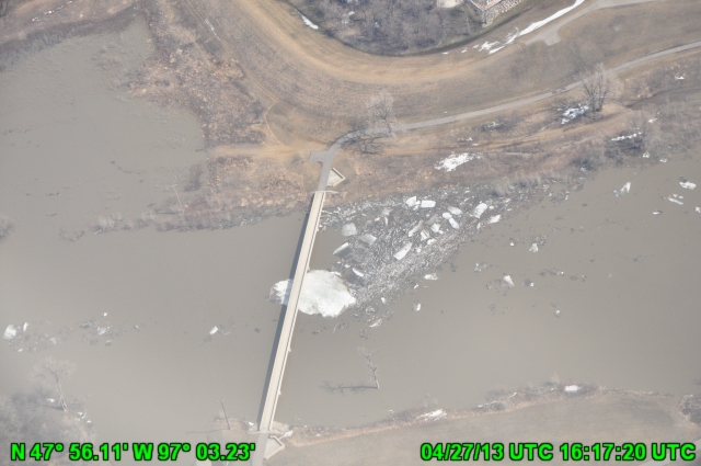
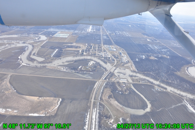
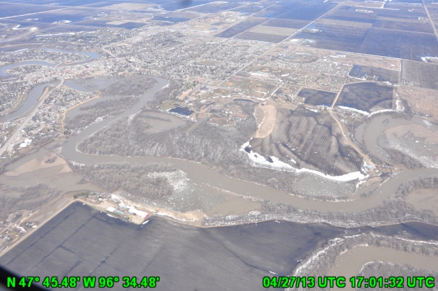
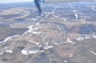
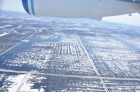
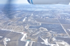
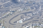
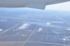
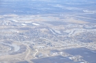
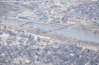
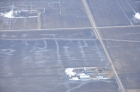
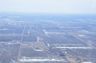
Date: 2013-04-27
Fargo
|

Date: 2013-04-27
NO CAPTION 58
|
Date: 2013-04-27
NO CAPTION 59
|
Date: 2013-04-27
NO CAPTION 60
|
Date: 2013-04-27
NO CAPTION 61
|
Date: 2013-04-27
NO CAPTION 62
|
Date: 2013-04-27
NO CAPTION 63
|
Date: 2013-04-27
NO CAPTION 64
|

Date: 2013-04-27
NO CAPTION 65
|
Date: 2013-04-27
NO CAPTION 66
|

Date: 2013-04-27
NO CAPTION 67
|
Date: 2013-04-27
NO CAPTION 68
|
Date: 2013-04-27
NO CAPTION 69
|

Date: 2013-04-27
NO CAPTION 70
|
Date: 2013-04-27
NO CAPTION 71
|
Date: 2013-04-27
NO CAPTION 72
|
Date: 2013-04-27
NO CAPTION 73
|
Date: 2013-04-27
NO CAPTION 74
|
Date: 2013-04-27
NO CAPTION 75
|
Date: 2013-04-27
NO CAPTION 76
|

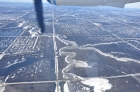
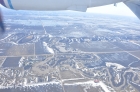
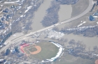
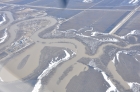
Date: 2013-04-27
Grand Forks
|
Date: 2013-04-27
NO CAPTION 77
|
Date: 2013-04-27
NO CAPTION 78
|
Date: 2013-04-27
NO CAPTION 79
|

Date: 2013-04-27
NO CAPTION 80
|
Date: 2013-04-27
NO CAPTION 81
|
Date: 2013-04-27
NO CAPTION 82
|
Date: 2013-04-27
NO CAPTION 83
|
Date: 2013-04-27
NO CAPTION 84
|
Date: 2013-04-27
NO CAPTION 85
|
Date: 2013-04-27
NO CAPTION 86
|
Date: 2013-04-27
NO CAPTION 87
|
Date: 2013-04-27
NO CAPTION 88
|
Date: 2013-04-27
NO CAPTION 89
|
Date: 2013-04-27
NO CAPTION 90
|
Date: 2013-04-27
NO CAPTION 91
|

Date: 2013-04-27
NO CAPTION 92
|
Date: 2013-04-27
NO CAPTION 93
|
Date: 2013-04-27
NO CAPTION 94
|

Date: 2013-04-27
NO CAPTION 95
|
Date: 2013-04-27
NO CAPTION 96
|

Date: 2013-04-27
NO CAPTION 97
|
Date: 2013-04-27
NO CAPTION 98
|
Date: 2013-04-27
NO CAPTION 99
|
Date: 2013-04-27
NO CAPTION 100
|
Date: 2013-04-27
NO CAPTION 101
|
Date: 2013-04-27
NO CAPTION 102
|

Date: 2013-04-27
NO CAPTION 103
|
Date: 2013-04-27
NO CAPTION 104
|

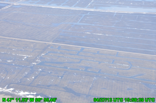
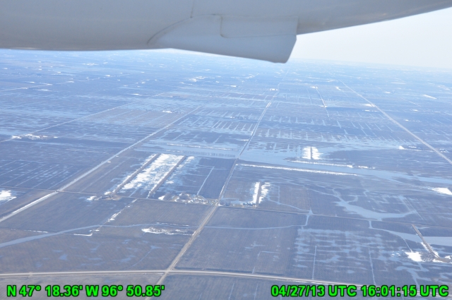
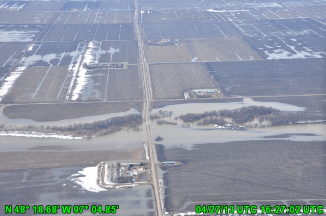
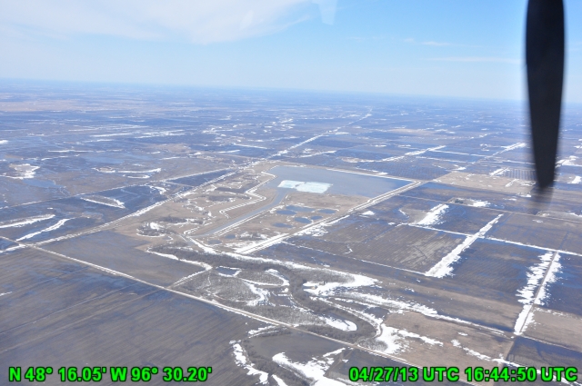
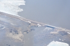
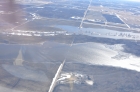
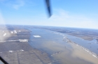
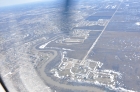
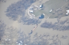
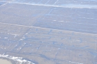
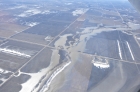
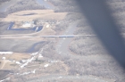
Date: 2013-04-27
15 mi SW of Thief River Falls, MN
|
Date: 2013-04-27
NO CAPTION 105
|

Date: 2013-04-27
NO CAPTION 106
|

Date: 2013-04-27
NO CAPTION 107
|
Date: 2013-04-27
NO CAPTION 108
|
Date: 2013-04-27
NO CAPTION 109
|
Date: 2013-04-27
NO CAPTION 110
|
Date: 2013-04-27
NO CAPTION 111
|
Date: 2013-04-27
NO CAPTION 112
|
Date: 2013-04-27
NO CAPTION 113
|

Date: 2013-04-27
Sewage plant nr Crookston
|
Date: 2013-04-27
NO CAPTION 114
|
Date: 2013-04-27
NO CAPTION 115
|
Date: 2013-04-27
NO CAPTION 116
|
Date: 2013-04-27
NO CAPTION 117
|

Date: 2013-04-27
NO CAPTION 118
|
Date: 2013-04-27
NO CAPTION 119
|
Date: 2013-04-27
NO CAPTION 120
|
Date: 2013-04-27
NO CAPTION 121
|
Date: 2013-04-27
NO CAPTION 122
|

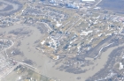
Date: 2013-04-27
Nr Fisher, MN
|
Date: 2013-04-27
NO CAPTION 123
|

Date: 2013-04-27
NO CAPTION 124
|
Date: 2013-04-27
NO CAPTION 125
|

Date: 2013-04-27
NO CAPTION 126
|
Date: 2013-04-27
NO CAPTION 127
|
Date: 2013-04-27
NO CAPTION 128
|
Date: 2013-04-27
NO CAPTION 129
|
Date: 2013-04-27
NO CAPTION 130
|
Date: 2013-04-27
NO CAPTION 131
|

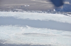
Date: 2013-04-27
Pickerel Lake, MN
|

Line: MN110
Date: 2013-04-19
MN110 - 5.70 in SWE - - Standing Water Ground Ice near Fargo
|
Line: MN110
Date: 2013-04-19
MN110 - 5.70 in SWE - Standing Water Ground Ice near Fargo
|

Line: MN123
Date: 2013-04-19
MN123 - 6.44 in SWE - Red River near Kent
|

Line: MN126
Date: 2013-04-19
MN126 - 5.09 in SWE - - Standing Water Ground Ice near Fargo
|
Line: MN126
Date: 2013-04-19
MN126 - 5.09 in SWE - Standing Water Ground Ice near Fargo
|

Line: ND103
Date: 2013-04-18
ND103 - 2.85 in SWE - Standing Water Ground Ice
|

Line: ND113
Date: 2013-04-18
ND113 - 6.91 in SWE - Souris River east of Newburg
|

Line: ND115
Date: 2013-04-19
ND115 - 5.74 in SWE - Lake Darling south of Mohall
|

Line: ND118
Date: 2013-04-18
ND118 - 4.87 in SWE - Souris River near Velva
|

Line: ND119
Date: 2013-04-18
ND119 - 4.68 in SWE - Souris River north of Voltaire
|

Line: ND119
Date: 2013-04-18
ND119 - 4.68 in SWE - Souris River north of Voltaire
|

Line: ND125
Date: 2013-04-18
ND125 - 6.52 in SWE - Souris River north of Tolley
|

Line: ND125
Date: 2013-04-18
ND125 - 6.52 in SWE - Souris River north of Tolley
|

Line: ND222
Date: 2013-04-19
ND222 - 4.36 in SWE - Sheyenne River
|

Line: ND245
Date: 2013-04-19
ND245 - 5.85 in SWE - Sheyenne River
|

Line: ND404
Date: 2013-04-19
ND404 - 2.55 in SWE - Standing Water Ground Ice near Fargo
|

Line: ND409
Date: 2013-04-22
ND409 3.72 IN SWE SWGI 30
|

Line: ND410
Date: 2013-04-22
ND410 3.6 IN SWE James River
|

Line: ND415
Date: 2013-04-20
ND415 - 6.56 in SWE - Standing Water Ground Ice near Whapeton
|

Line: ND417
Date: 2013-04-20
ND417 - 3.50 in SWE - Cheyenne River east of Buttzville
|

Line: ND432
Date: 2013-04-19
ND432 - 3.18 in SWE - Standing Water Ground Ice in Barnes County
|

Line: ND440
Date: 2013-04-19
ND440 - 6.61 in SWE - Red River near Breckenridge
|

Line: SD206
Date: 2013-04-23
SD206 2.5 IN SWE Big Sioux Rvr
Full
|

Line: SD208
Date: 2013-04-23
SD208 3.13 IN SWE SWGI 10
Full
|

Line: SD212
Date: 2013-04-23
SD212 3.54 IN SWE Lake MN Rvr
Full
|

Line: SK301
Date: 2013-04-17
SK301 - 6.22 in SWE - Souris River southeast of Oxbow
|

Line: SK302
Date: 2013-04-17
SK302 - 5.59 in SWE - Souris River south of Oxbow
|

Line: SK305
Date: 2013-04-17
SK305 - 4.39 in SWE - Standing Water Ground Ice north of Colgate
|

Line: SK311
Date: 2013-04-17
SK311 - 4.67 in SWE - Moose Mountain River
|

Line: SK315
Date: 2013-04-18
SK315 - 4.53 in SWE - Souris River north of Torquay
|

Line: SK316
Date: 2013-04-17
SK316 - 4.11 in SWE - Souris River
|

Line: SK318
Date: 2013-04-17
SK318 - 5.03 in SWE - Moose Mountain River north of Alameda
|

Line: SK319
Date: 2013-04-17
SK319 - 5.39 in SWE - Alameda Dam
|
|